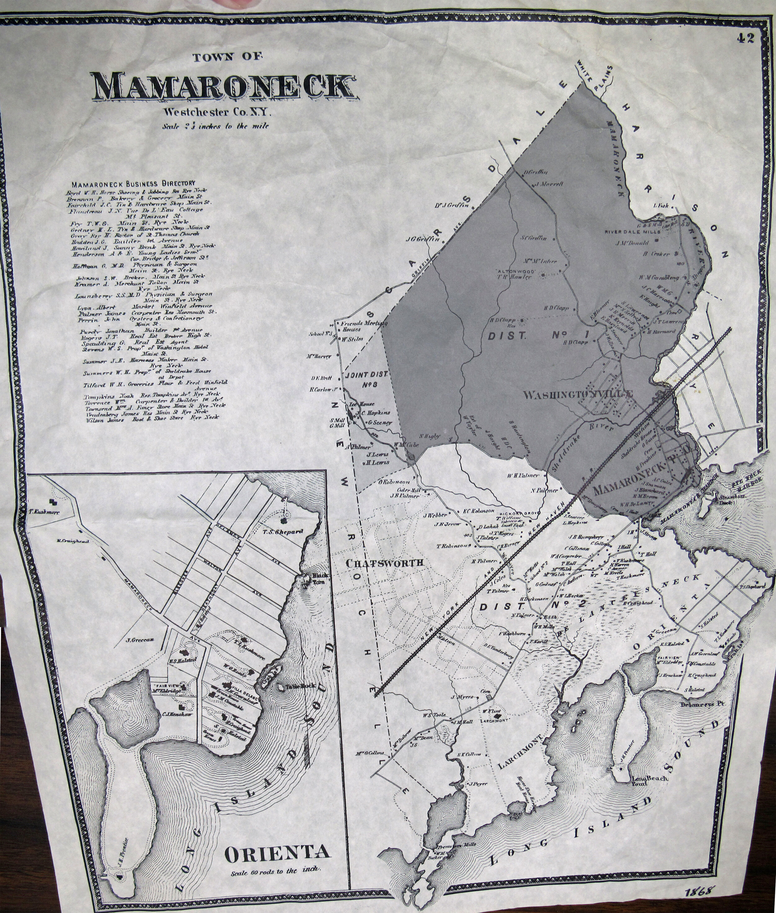
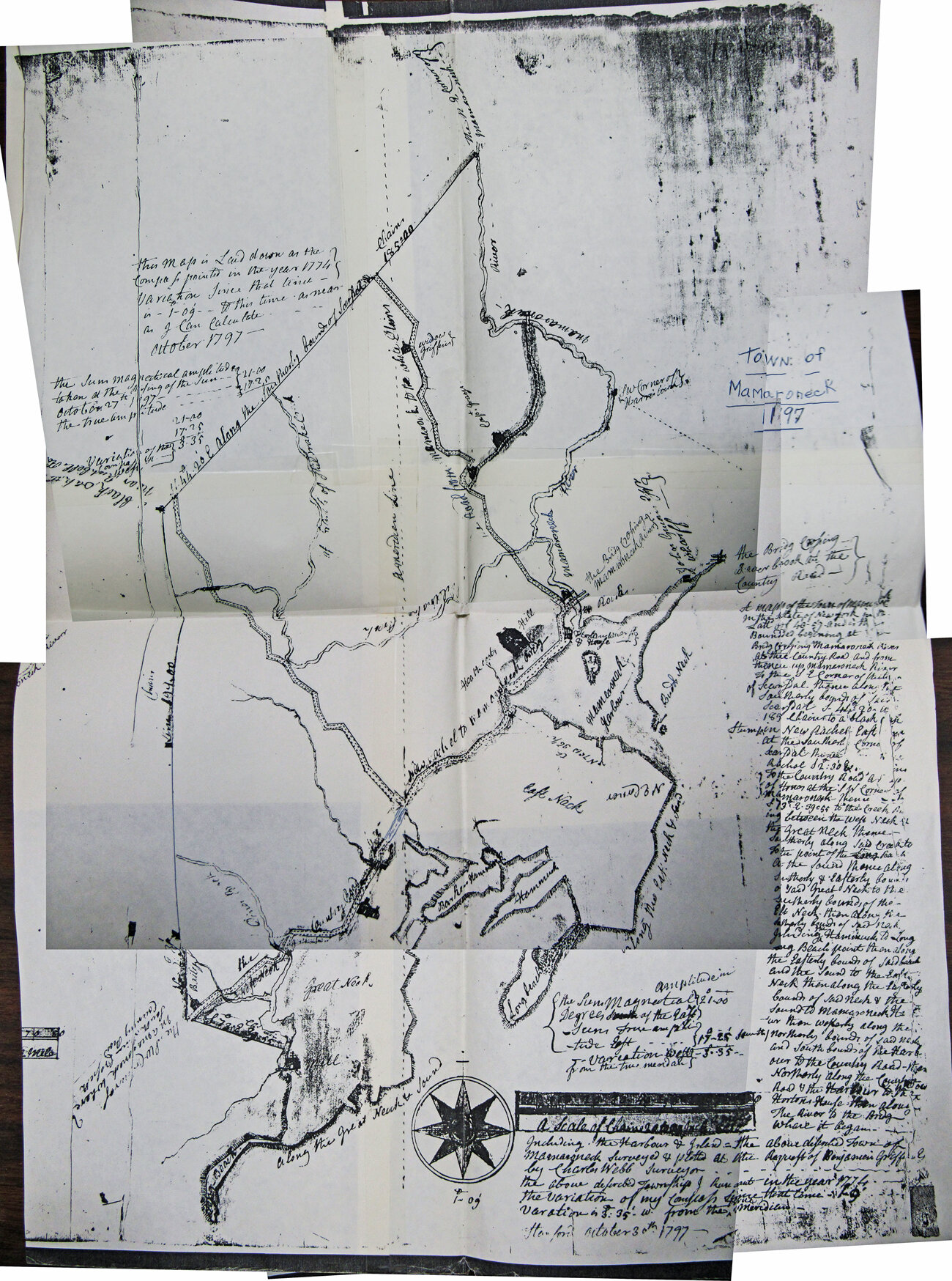
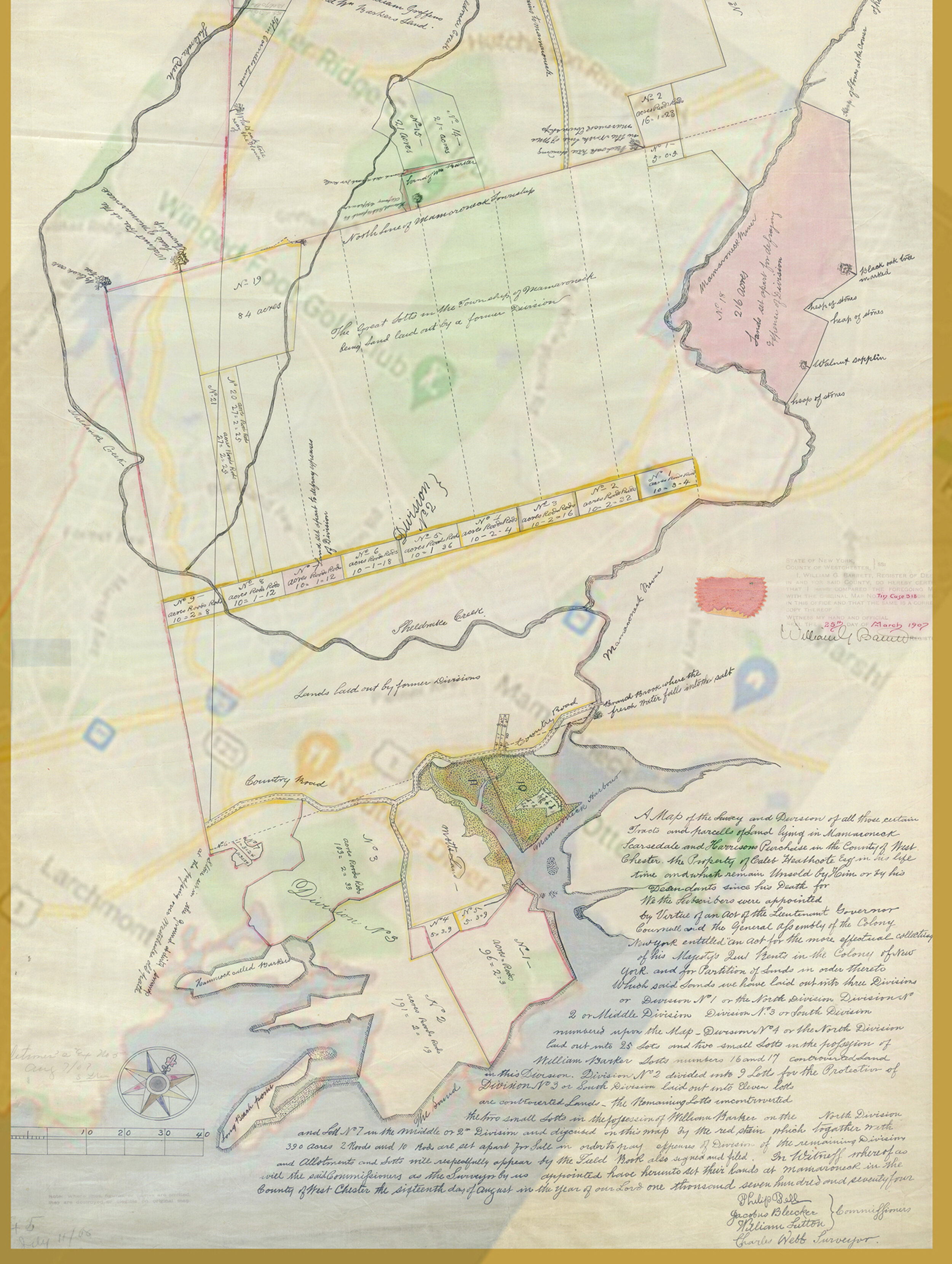
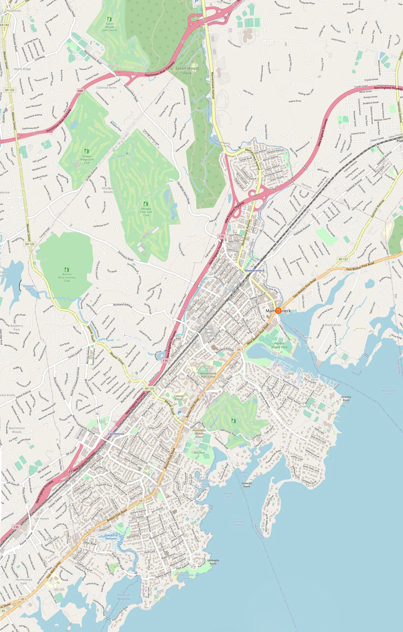
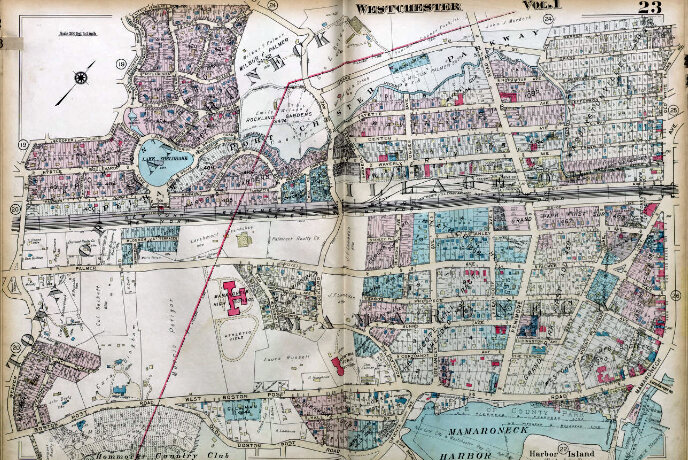
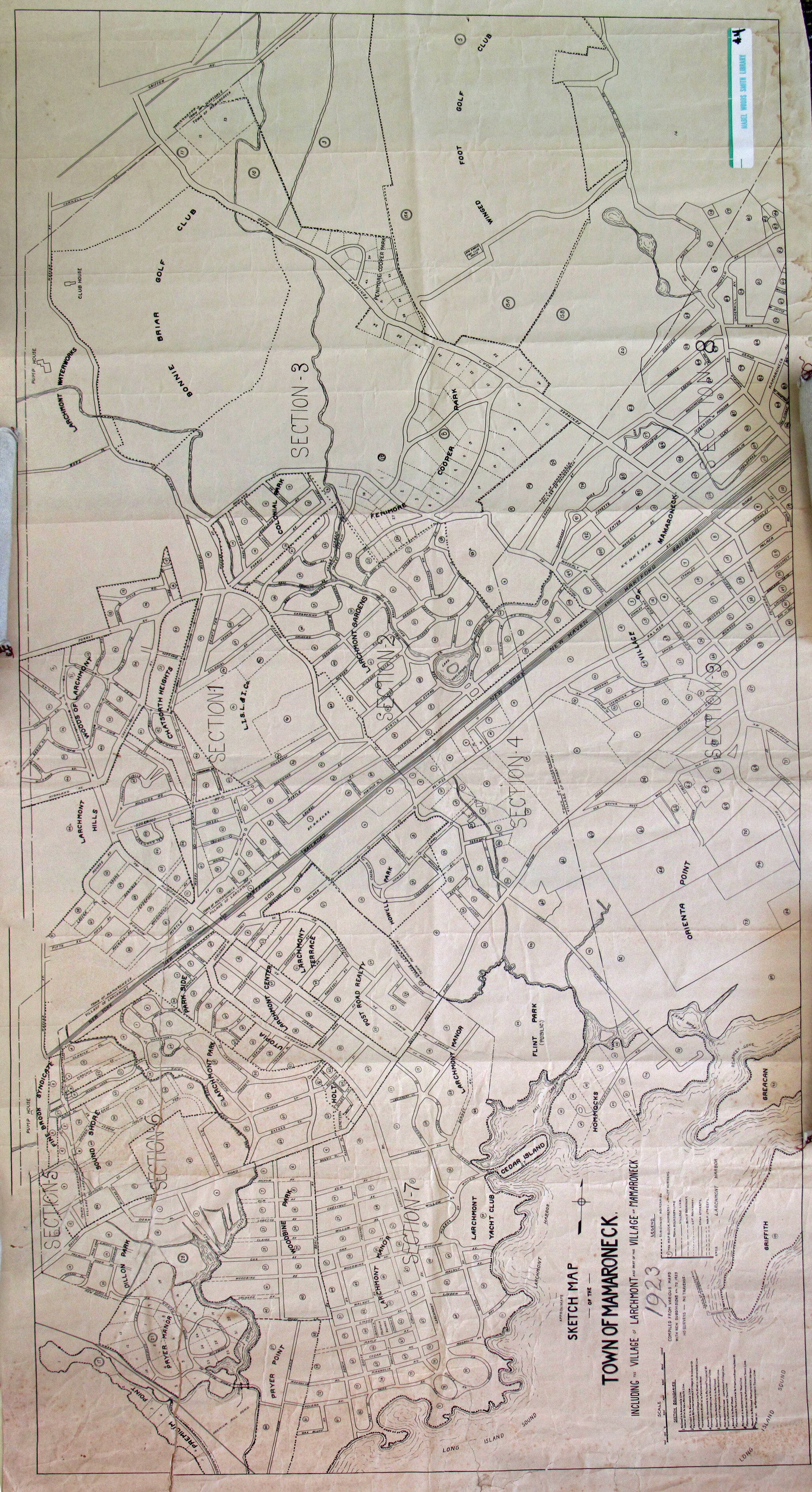
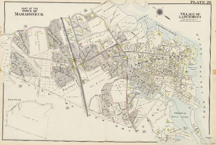
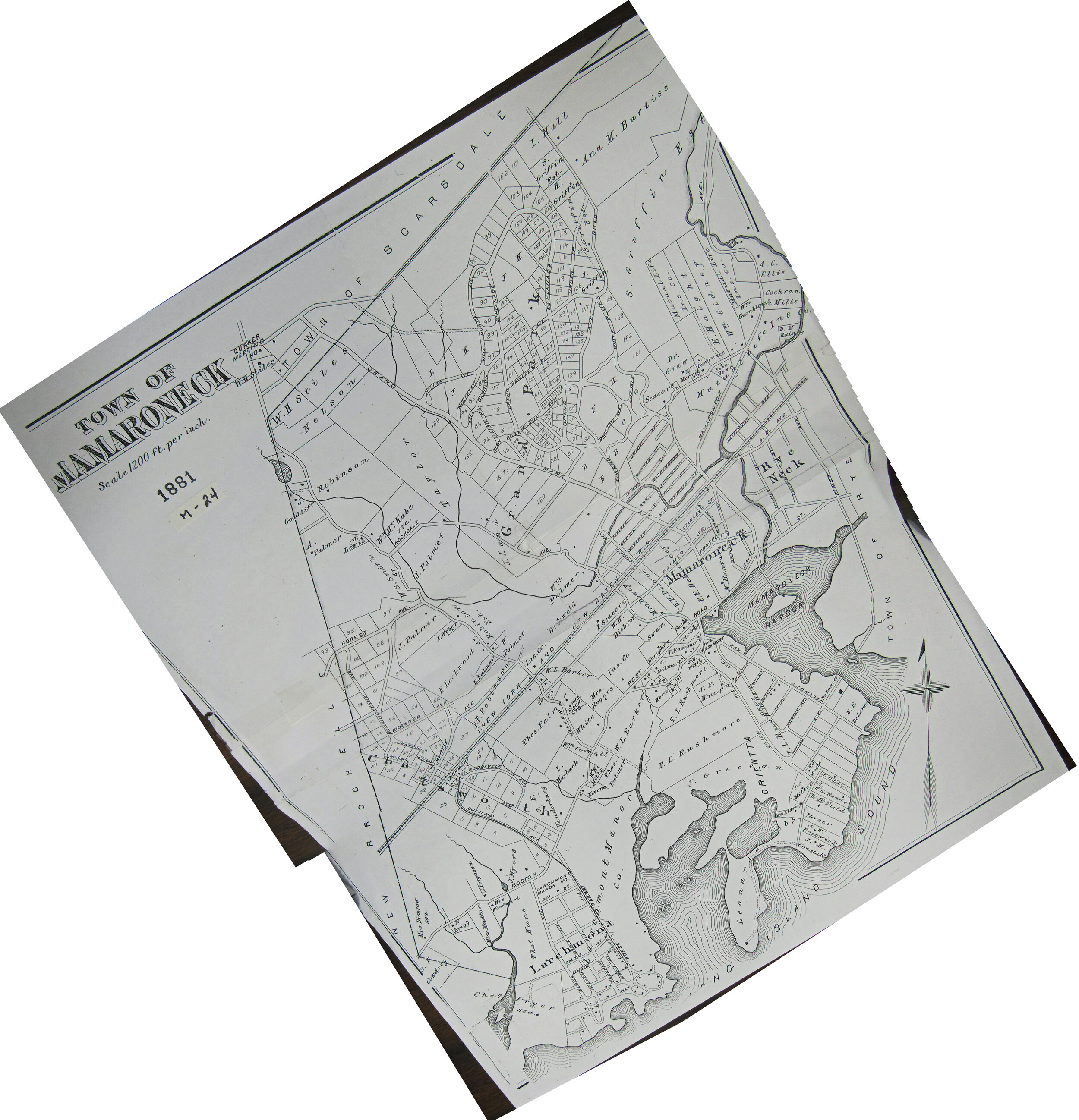
See old maps of Mamaroneck
See when your street appeared and how the town developed.
How to view maps: Tap on one of the maps below. A larger version will appear in a box below it.
Exceptions:
1911 link will open on a separate web page - Westchester County Archives
1929 link will open to a list of local maps on a county archives web page.
Most maps are aligned so north is up.
Best browers: On desktop, the maps work best on Google Chrome or Microsoft Edge web browsers. Internet Explorer doesn't provide detailed close-up zooms.
See more details on the maps.
See other historic maps, aerial photos:
- Larchmont
- Rye Neck
- Westchester County Archives Digital Collection: Countywide maps and atlases, photographs and more
- Westchester County Historical Society: images, objects and more
- Westchester County Historical Aerial Photographs collection, 1925-95
Zoom in on the enlarged map this way:
On computer:
Use the mouse scroll wheel. Or hold down Ctrl and click +
Hold mouse down and drag to move around the map.
Zoom out via the Zoom Out button
On a laptop with a track pad:
Push upward in the larger map with two spread fingers to zoom in.
Tap a finger twice on the larger map then hold down to move it around.
Use Zoom-out button to zoom out.
On a cell phone:
Spread your fingers across the larger map to zoom in.
Bring fingers together or use the Zoom-out button to zoom out.
